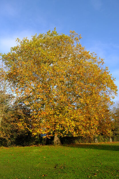
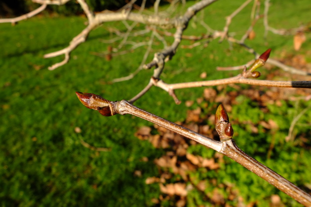
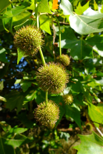
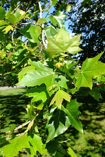
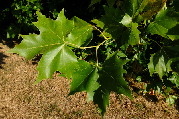
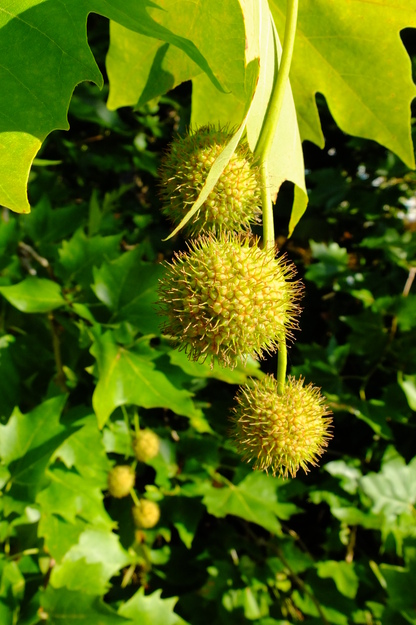
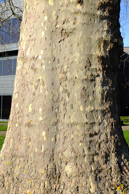
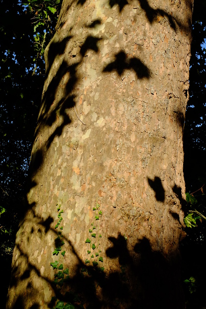
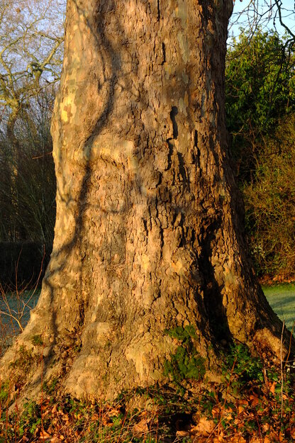
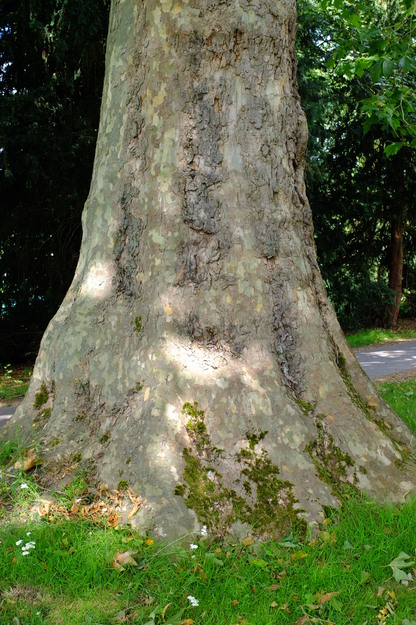
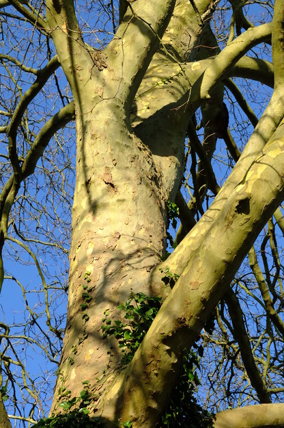
Platanus × hispanica is a species of deciduous broadleaf flowering plants (in the Platanaceae family). It is a hybrid between Platanus orientalis (oriental plane, also present in Whiteknights Park) and Platanus occidentalis (occidental plane, or American sycamore). Since these are Eurasian and American species, respectively, the hybrid arose only because they were planted in proximity by human intervention, probably in the 17th century. Once established, it grows rapidly and can reach 30 metres, and with a widely spreading crown and broad trunk. Its bark flakes off in plates, producing a mottled appearance of light brown and grey-green.
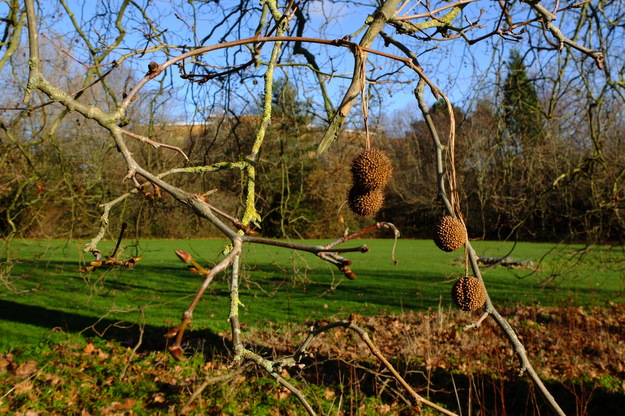
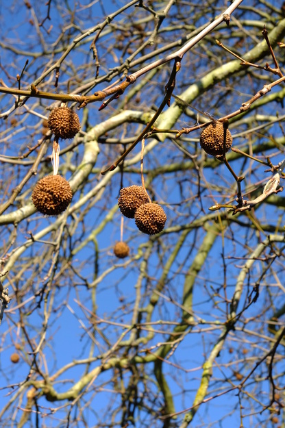
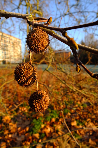
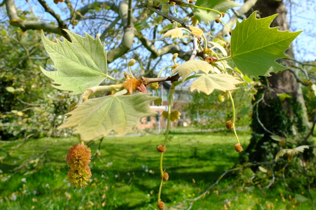
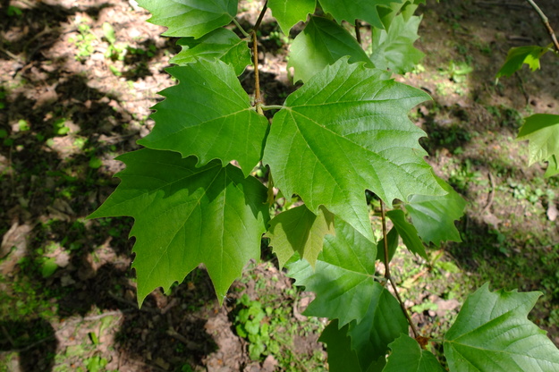
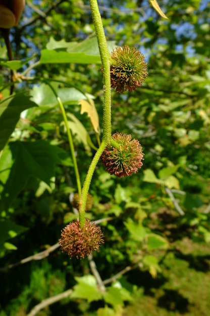
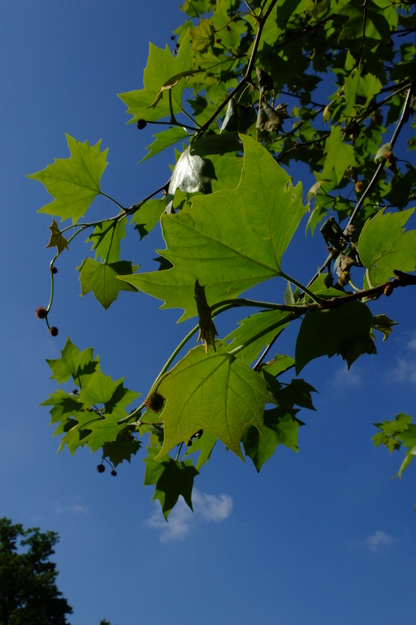
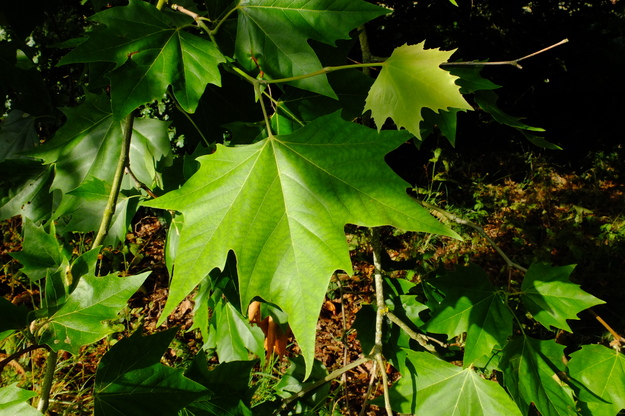
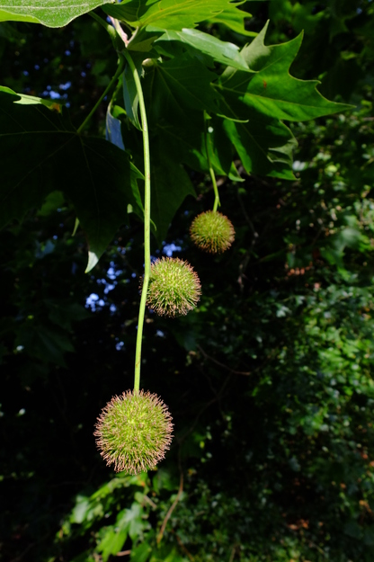
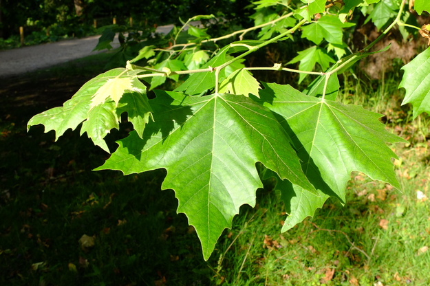
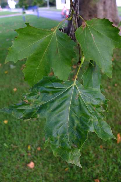
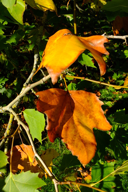
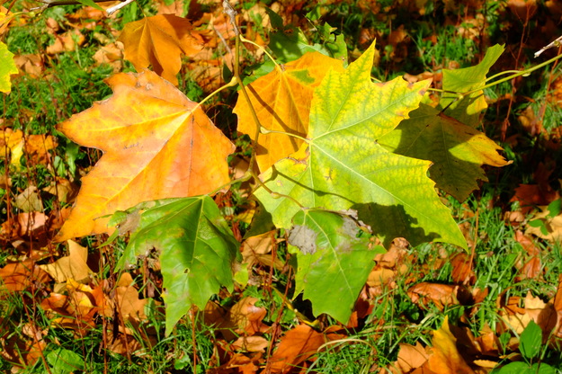
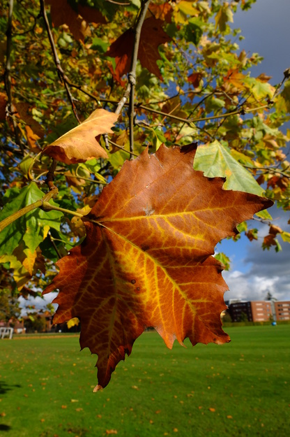
Platanus × hispanica has large bright green leaves, usually with five lobes, not as deeply divided as those of Platanus orientalis. They resemble maple leaves, as indicated by the synonym Platanus × acerifolia for the species, in which acerifolia means "maple leaves". (The similarity of plane and maple leaves is noted also by the common name "American sycamore" for Platanus occidentalis, whereas the species called "sycamore" in Britain is one of the maple family, Acer pseudoplatanus, in which pseudoplatanus means "false plane".) The leaves turn orange or bronze in autumn. The fruit of the tree are small round spiky balls that hang in pairs or clusters.
On account of the large size of the tree and its leaves, Platanus × hispanica is a good tree for shade. It is widely planted in cities for this reason, and for its resilience and adaptability. It tolerates pollution, compacted soils, and pollarding, making it one of the most successful trees for temperate climates in towns, where it improves air quality and contributes to the character of the urban landscape. It is a common sight along streets and in parks, for instance in London, Paris and New York City.
External webpages
about this species


about this species
How to use the map
Drag with your finger or mouse to move the map.
 Zoom in or out. You can also do this with the mousewheel or by pinching.
Marker of the position of an identified tree, while the map is zoomed out. For the details, zoom in until you see tree markers like the following …

 Clicking on a tree marker brings up a window (called a "popup")
identifying the species of the tree there, with a small photo of it and buttons
to display more photos and information. NB only a few hundred of the thousands
of trees are marked!
Clicking on a tree marker brings up a window (called a "popup")
identifying the species of the tree there, with a small photo of it and buttons
to display more photos and information. NB only a few hundred of the thousands
of trees are marked!
7Marker of a tree of the selected species; clicking it will zoom and centre the map on this tree, and bring up a photo of it in the frame.
 Marker of a British Isles champion tree in
The Tree Register.
Marker of a British Isles champion tree in
The Tree Register.
✕ Click the cross at the top right of any window, including this one, to get rid of it.
 ✕
Click to dismiss all the popups at once.
✕
Click to dismiss all the popups at once.
Choose alternative versions of the map. The tree markers, popups, map centre and zoom are all unaffected by switching.
 Turn on a flashing dot which tracks your live location on the map, surrounded
by a circle indicating the accuracy of the location. This will work
only if your device has a satellite navigation (GPS etc.) receiver which is
enabled and can acquire a signal. You will probably be asked to allow the
website to access "location services" the first time you press this button.
The button flashes orange while trying to locate you,
and green while your location is shown. Press it again to turn it off.
Turn on a flashing dot which tracks your live location on the map, surrounded
by a circle indicating the accuracy of the location. This will work
only if your device has a satellite navigation (GPS etc.) receiver which is
enabled and can acquire a signal. You will probably be asked to allow the
website to access "location services" the first time you press this button.
The button flashes orange while trying to locate you,
and green while your location is shown. Press it again to turn it off.
 Recentre the map on your present location, while live location is switched on.
 Reset the map to its original centre and zoom.
To click on a tree, zoom in until you see
tree markers
Miller Wager TriangleSee all photos of this tree
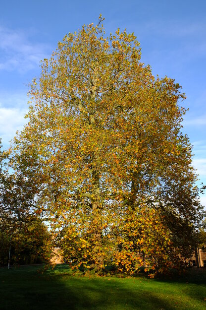
North lakesideSee all photos of this tree
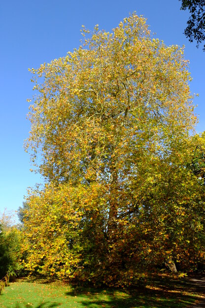
Enterprise lawnSee all photos of this tree
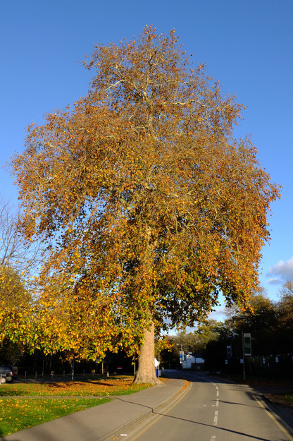
Causeway BridgeSee all photos of this tree
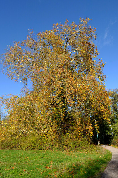
Carpark EatSee all photos of this tree
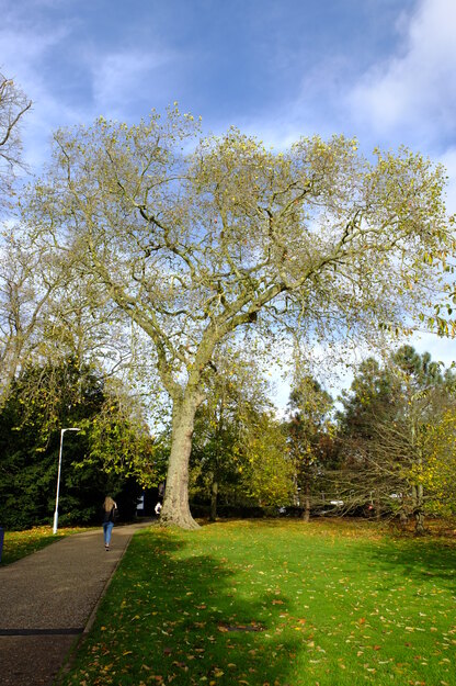
Windsor lawnSee all photos of this tree
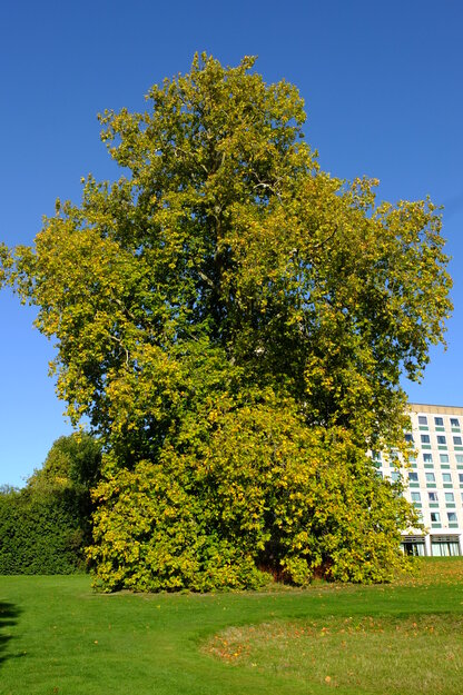
Elmhurst RoadSee all photos of this tree