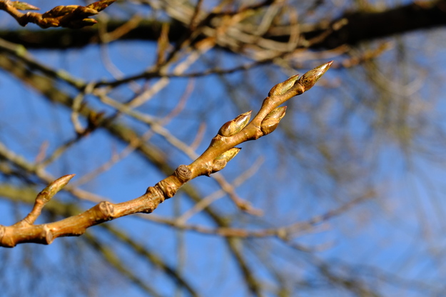
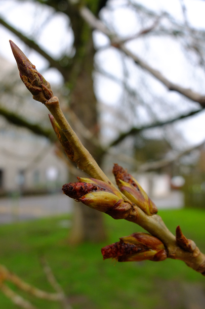
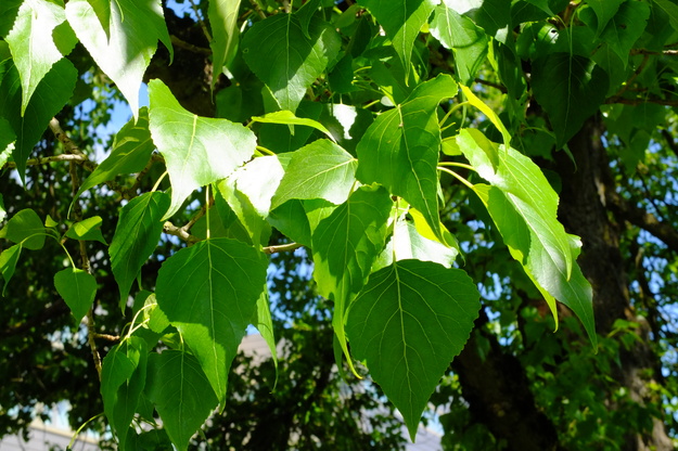
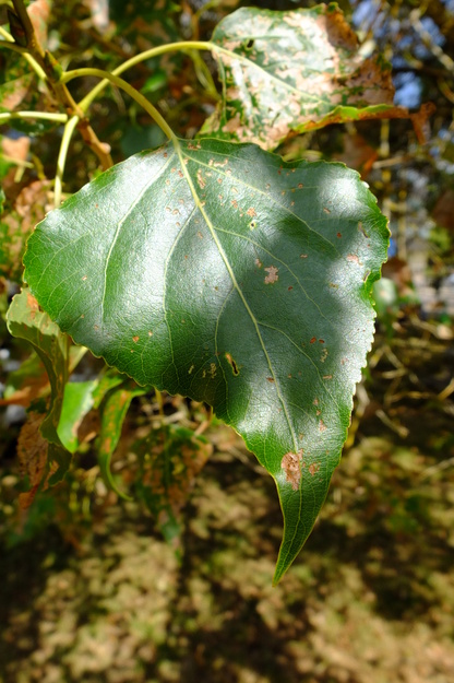
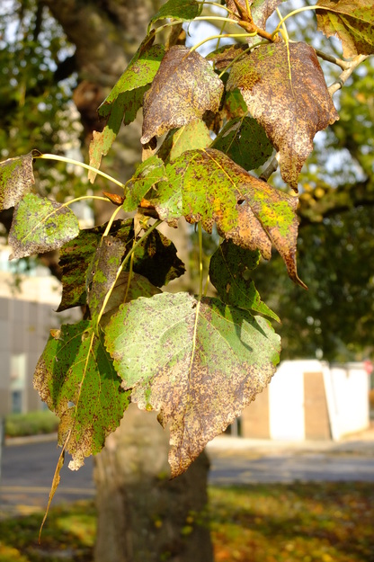
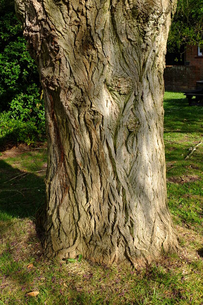
Populus nigra betulifolia is a species of deciduous broadleaf flowering plants (in the Salicaceae or Willow family), native to Britain and north-western Europe. It is the native subspecies of Populus nigra, which is found in much of western Eurasia. The columnar Lombardy Populus nigra cultivar is also present in Whiteknights Park. Populus nigra betulifolia prefers boggy ground in floodplains and wetlands, and supports a variety of wildlife. However, it has become very rare, with only a few thousand in the country; hybrids of Populus nigra with other Populus species are much more common.
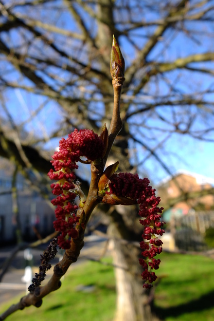
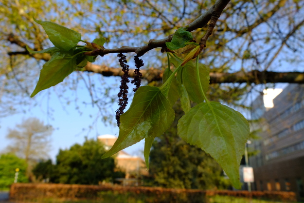
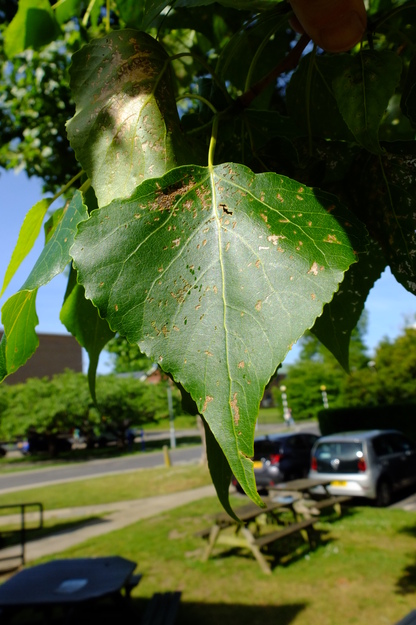
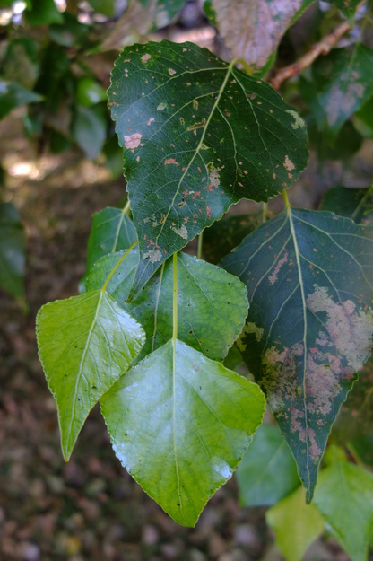
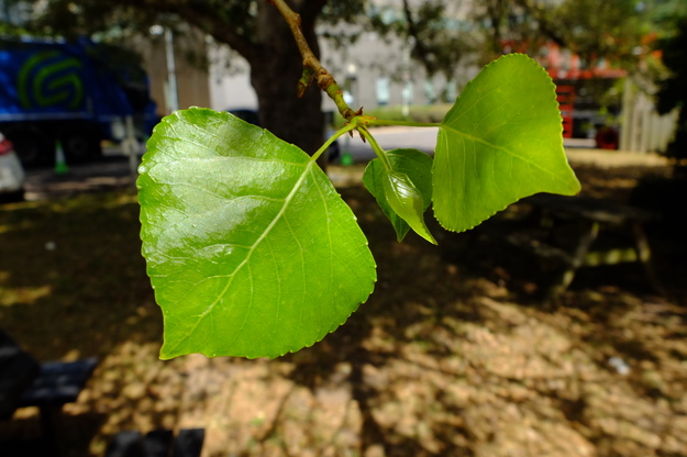
Populus nigra betulifolia is an imposing tree, which can can grow up to around 30 metres tall, with a broad, spreading crown. Its bark is grey–brown and furrowed, typically with burrs (regions where the bark seems knotted or lumpy). The wood is soft, low-density, shock-resistant, and light brown to almost white in colour. Its leaves are green, triangular and tapered. As with all Populus species, male and female flowers are found on separate trees and appear as catkins in spring. Male catkins are red, female yellow–green and pollinated by the wind.
External webpages
about this species


about this species
How to use the map
Drag with your finger or mouse to move the map.
 Zoom in or out. You can also do this with the mousewheel or by pinching.
Marker of the position of an identified tree, while the map is zoomed out. For the details, zoom in until you see tree markers like the following …

 Clicking on a tree marker brings up a window (called a "popup")
identifying the species of the tree there, with a small photo of it and buttons
to display more photos and information. NB only a few hundred of the thousands
of trees are marked!
Clicking on a tree marker brings up a window (called a "popup")
identifying the species of the tree there, with a small photo of it and buttons
to display more photos and information. NB only a few hundred of the thousands
of trees are marked!
7Marker of a tree of the selected species; clicking it will zoom and centre the map on this tree, and bring up a photo of it in the frame.
 Marker of a British Isles champion tree in
The Tree Register.
Marker of a British Isles champion tree in
The Tree Register.
✕ Click the cross at the top right of any window, including this one, to get rid of it.
 ✕
Click to dismiss all the popups at once.
✕
Click to dismiss all the popups at once.
Choose alternative versions of the map. The tree markers, popups, map centre and zoom are all unaffected by switching.
 Turn on a flashing dot which tracks your live location on the map, surrounded
by a circle indicating the accuracy of the location. This will work
only if your device has a satellite navigation (GPS etc.) receiver which is
enabled and can acquire a signal. You will probably be asked to allow the
website to access "location services" the first time you press this button.
The button flashes orange while trying to locate you,
and green while your location is shown. Press it again to turn it off.
Turn on a flashing dot which tracks your live location on the map, surrounded
by a circle indicating the accuracy of the location. This will work
only if your device has a satellite navigation (GPS etc.) receiver which is
enabled and can acquire a signal. You will probably be asked to allow the
website to access "location services" the first time you press this button.
The button flashes orange while trying to locate you,
and green while your location is shown. Press it again to turn it off.
 Recentre the map on your present location, while live location is switched on.
 Reset the map to its original centre and zoom.
To click on a tree, zoom in until you see
tree markers
Park House LodgeSee all photos of this tree