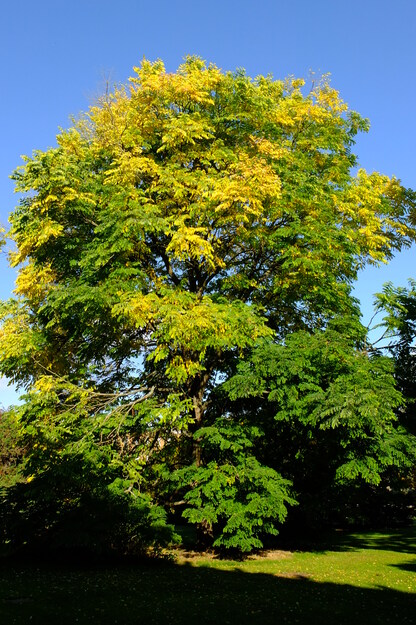
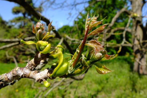
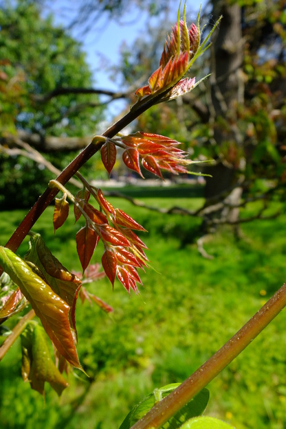
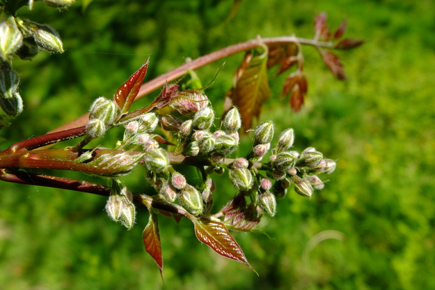
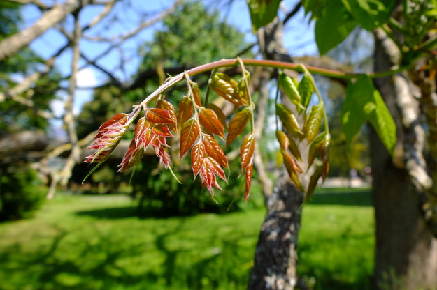
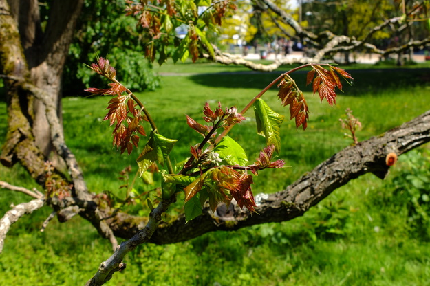
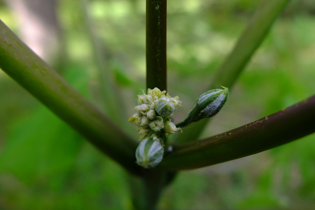
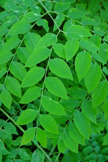
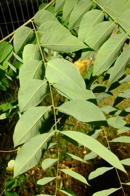
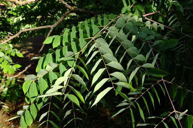
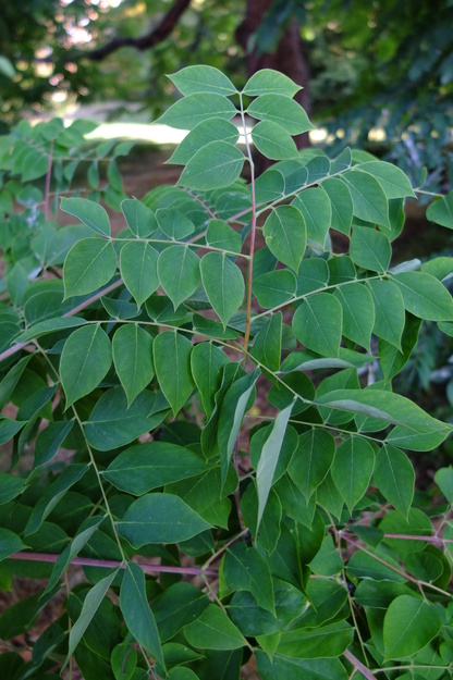
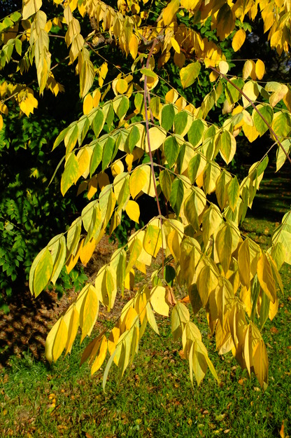
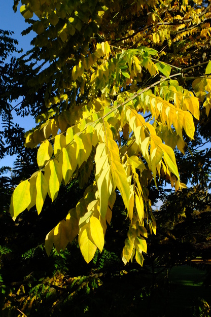
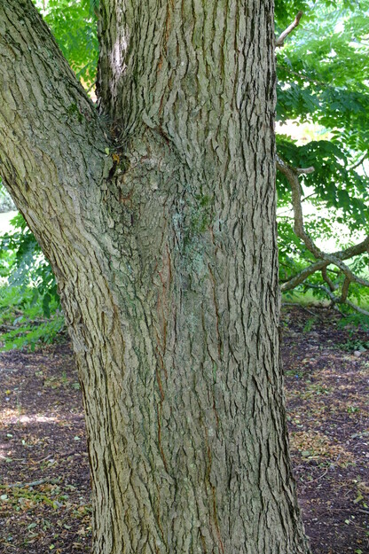
Gymnocladus dioicus is a species of deciduous broadleaf flowering plants (in the Fabaceae or Legume, pea or bean family), native to central and eastern North America. It is recognized by its coarse branching structure, thick grey bark, and complicated arrangement of leaves (bipinnate compound, in which each "leaf" in a technical sense comprises a stalk with several pairs of secondary stalks on opposite sides of it, and each secondary stalk has several pairs of "leaflets"). In winter, its bare branches, with no thin twigs, create a bold architectural form in the landscape.
The tree produces large, dark seed pods containing hard seeds that were historically roasted and eaten by native Americans, and used as a coffee substitute by early European settlers in America. The unroasted seeds and pods are toxic. The tough seed pods are too difficult for many animals to chew through and, in the wild, it only grows well in wetlands where the seed pods can rot away to allow germination.
External webpages
about this species


about this species
How to use the map
Drag with your finger or mouse to move the map.
 Zoom in or out. You can also do this with the mousewheel or by pinching.
Marker of the position of an identified tree, while the map is zoomed out. For the details, zoom in until you see tree markers like the following …

 Clicking on a tree marker brings up a window (called a "popup")
identifying the species of the tree there, with a small photo of it and buttons
to display more photos and information. NB only a few hundred of the thousands
of trees are marked!
Clicking on a tree marker brings up a window (called a "popup")
identifying the species of the tree there, with a small photo of it and buttons
to display more photos and information. NB only a few hundred of the thousands
of trees are marked!
7Marker of a tree of the selected species; clicking it will zoom and centre the map on this tree, and bring up a photo of it in the frame.
 Marker of a British Isles champion tree in
The Tree Register.
Marker of a British Isles champion tree in
The Tree Register.
✕ Click the cross at the top right of any window, including this one, to get rid of it.
 Click to choose whether more than one popup can be open at once.

 Click to dismiss the open popup, or all open popups. You can also close
the popups by clicking on the map anywhere apart from a popup or marker.
Click to dismiss the open popup, or all open popups. You can also close
the popups by clicking on the map anywhere apart from a popup or marker.
Choose alternative versions of the map. The tree markers, popups, map centre and zoom are all unaffected by switching.
 Turn on a flashing dot which tracks your live location on the map, surrounded
by a circle indicating the accuracy of the location. This will work
only if your device has a satellite navigation (GPS etc.) receiver which is
enabled and can acquire a signal. You will probably be asked to allow the
website to access "location services" the first time you press this button.
The button flashes orange while trying to locate you,
and green while your location is shown. Press it again to turn it off.
Turn on a flashing dot which tracks your live location on the map, surrounded
by a circle indicating the accuracy of the location. This will work
only if your device has a satellite navigation (GPS etc.) receiver which is
enabled and can acquire a signal. You will probably be asked to allow the
website to access "location services" the first time you press this button.
The button flashes orange while trying to locate you,
and green while your location is shown. Press it again to turn it off.
 Recentre the map on your present location, while live location is active.
 Reset the map to its original centre and zoom.
To click on a tree, zoom in until you see
tree markers
On account of its exceptional size for its species, this tree is a
British Isles champion in The Tree Register
Whiteknights QuadSee all photos of this tree