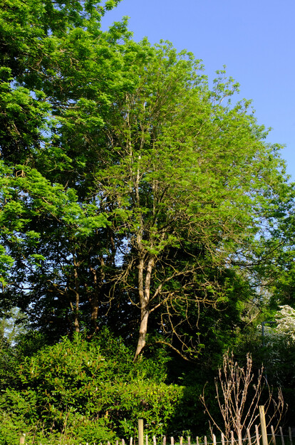
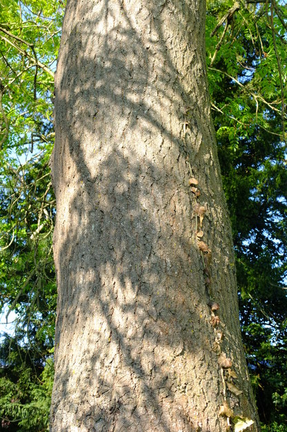
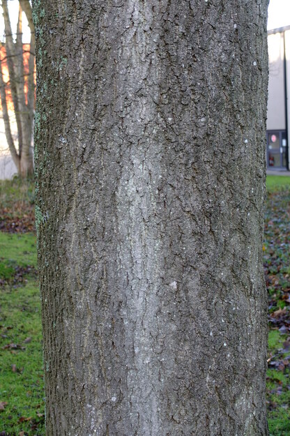
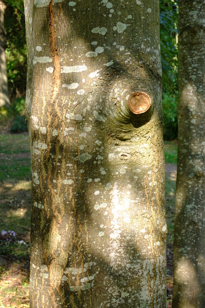
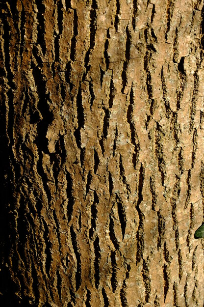
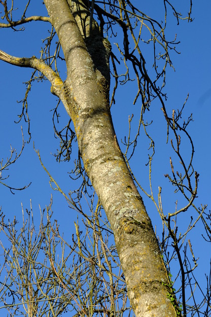
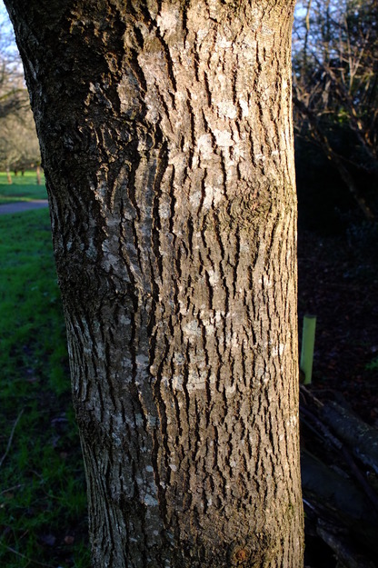
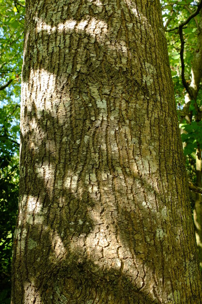
Fraxinus excelsior is a species of deciduous broadleaf flowering plants (in the Oleaceae or Olive family), native to Europe including Britain, Asia Minor, the Caucasus and Iran. It is a large tree, which can attain about 40 metres and live for 200 years. It spreads at its crown to a variable extent, forming a graceful open canopy which allows light to reach the undergrowth. In young trees the bark is smooth and light grey, becoming vertically fissured and grey-brown as it ages, and often covered with lichen. The wood has a light colour, low density and is tough, flexible and shock-resistant, and used for furniture and tool handles. Traditionally ash was cultivated by coppicing and pollarding.
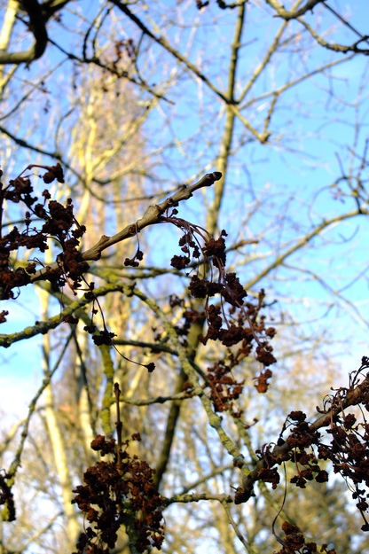
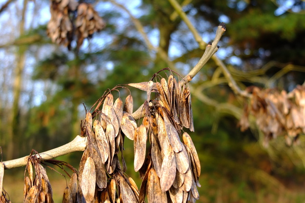
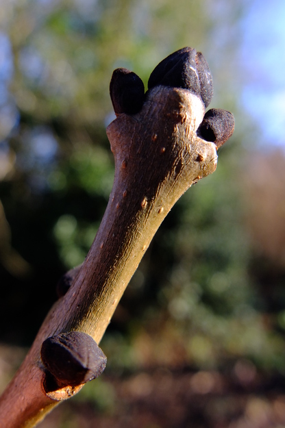
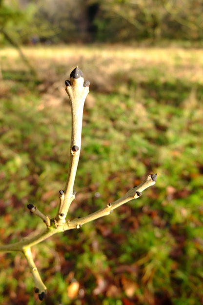
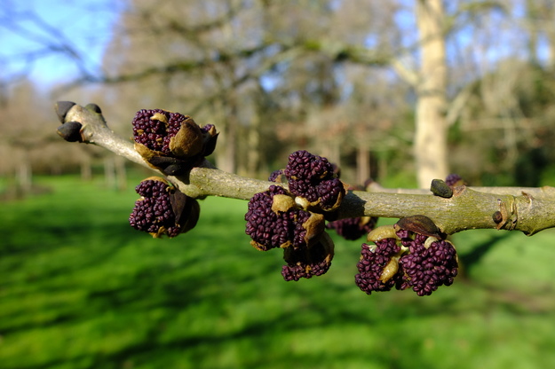
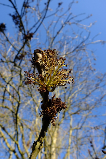
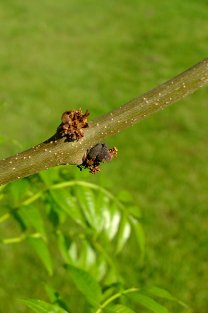
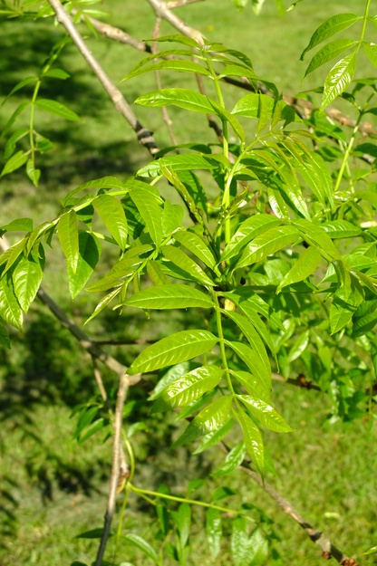
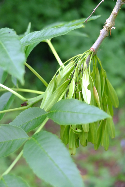
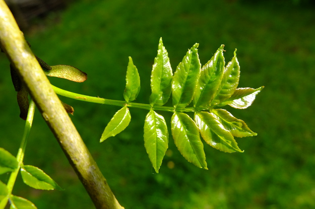
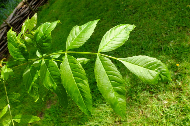
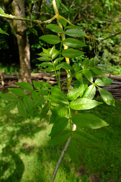
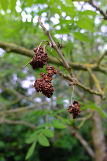
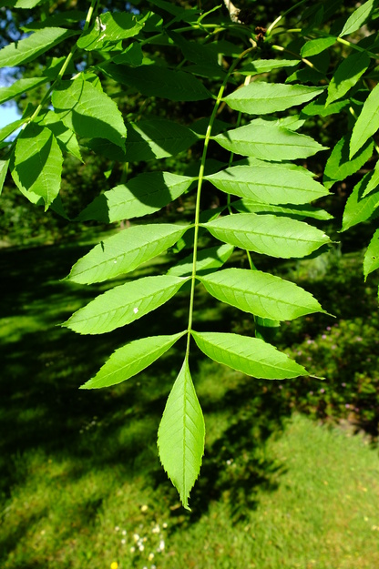
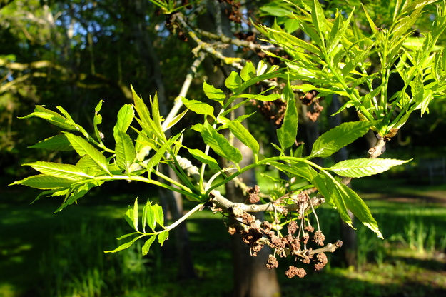
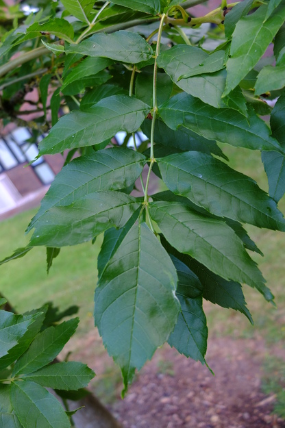
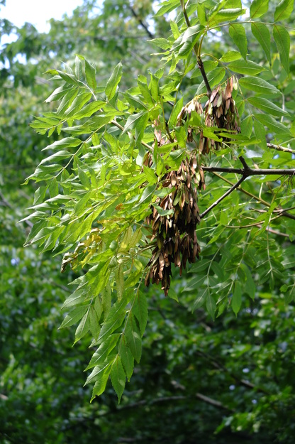
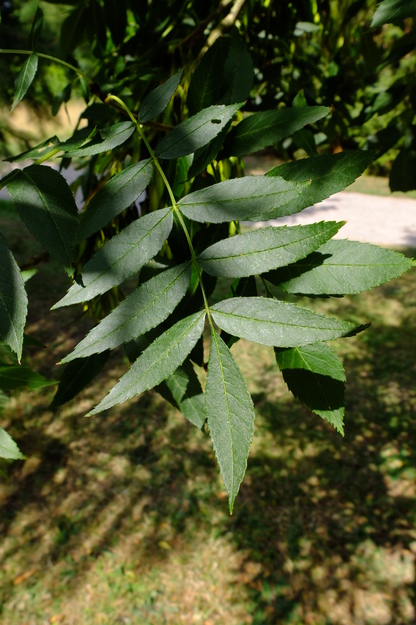
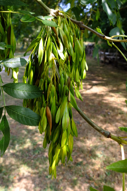
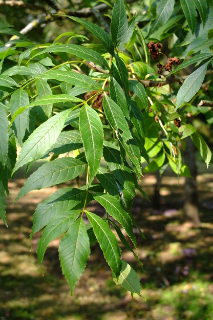
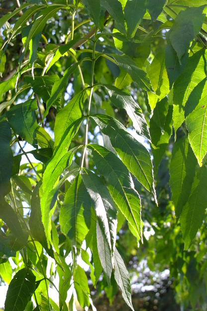
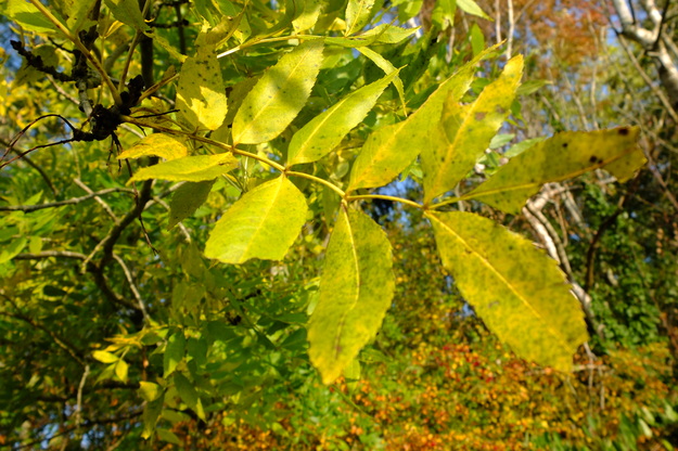
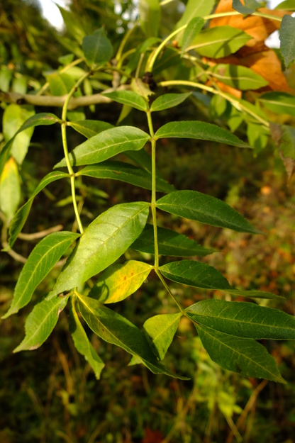
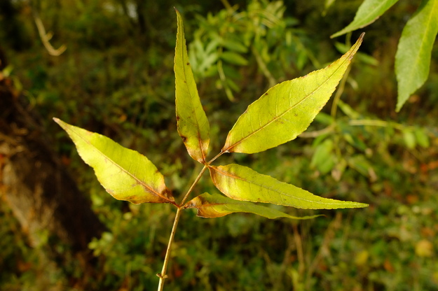
In winter, Fraxinus excelsior is often recognisable from a distance by its hanging bunches of brown winged fruit (samaras, called "keys"), which persist from the summer. Close up, it can be recognised in winter from its large black buds, with three buds at the end of a twig. In other ash (Fraxinus) species, the buds are brown, for instance Fraxinus ornus, also present in Whiteknights Park. The buds open in spring, initially looking somewhat like blackberries as the dense bunches of small flowers emerge. The leaves are fairly small and narrow, with a pointed tip and toothed edges, arranged in 3–6 pairs on opposite sides of a stem, with one at the end (botanically, they are leaflets comprising a compound leaf). In autumn they may or may not turn yellow before falling. From the spring one may also notice shapeless green or brown blobs hanging from the twigs, becoming black in winter; these are "galls", arising from male flowers that have been parasitised by the Aceria fraxiniflora mite.
Fraxinus excelsior is a pioneer species, which colonises open areas. It thrives in moist chalky or limestone soil. It does not grow well in cold conditions, and is therefore not found up mountains in Britain, unlike the the rowan, Sorbus aucuparia, also present in Whiteknights Park, called "mountain ash" because it has somewhat similar leaves. Common ash is the third most prevalent tree in Great Britain, accounting for about 12% of woodland area, but its numbers are being reduced by ash dieback, due to the fungus Hymenoscyphus fraxineus (also called Chalara fraxinea), which came from Asia and was first recorded here in 2012. This disease gradually kills the branches and thins the canopy, working downwards in the tree, until eventually it is all dead. Several large ash trees have been felled in Whiteknights Park in recent years because of this disease. The current estimate is that half to three-quarters of ash trees in the country will be killed over the coming years, but not all individuals are susceptible, and there are indications that resistance is evolving.
External webpages
about this species


about this species
How to use the map
Drag with your finger or mouse to move the map.
 Zoom in or out. You can also do this with the mousewheel or by pinching.
Marker of the position of an identified tree, while the map is zoomed out. For the details, zoom in until you see tree markers like the following …

 Clicking on a tree marker brings up a window (called a "popup")
identifying the species of the tree there, with a small photo of it and buttons
to display more photos and information. NB only a few hundred of the thousands
of trees are marked!
7Marker of a tree of the selected species; clicking it will zoom and centre the map on this tree, and bring up a photo of it in the frame.
 Marker of a British Isles champion tree in
The Tree Register.
✕ Click the cross at the top right of any window, including this one, to get rid of it.
 Click to choose whether more than one popup can be open at once.

 Click to dismiss the open popup, or all open popups. You can also close
the popups by clicking on the map anywhere apart from a popup or marker.
Choose alternative versions of the map. The tree markers, popups, map centre and zoom are all unaffected by switching.
 Turn on a flashing dot which tracks your live location on the map, surrounded
by a circle indicating the accuracy of the location. This will work
only if your device has a satellite navigation (GPS etc.) receiver which is
enabled and can acquire a signal. You will probably be asked to allow the
website to access "location services" the first time you press this button.
The button flashes orange while trying to locate you,
and green while your location is shown. Press it again to turn it off.
 Recentre the map on your present location, while live location is active.
 Reset the map to its original centre and zoom.
To click on a tree, zoom in until you see
tree markers
Causeway BridgeSee all photos of this tree
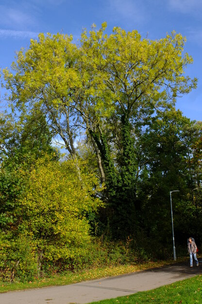
Harris GardenSee all photos of this tree
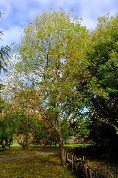
Harris GardenSee all photos of this tree
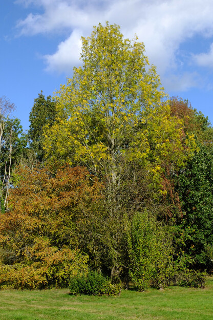
Harris GardenSee all photos of this tree
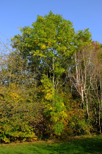
Agromet SouthSee all photos of this tree